
The Ridgefold Difference
Every other app plans a hike. You’re planning a trip.
Map apps don't know where you're sleeping, so they can't tell you what tomorrow actually holds. Ridgefold starts from your camps. Same route, now a string of doable days — miles, climb, and hours for each.
Try It Out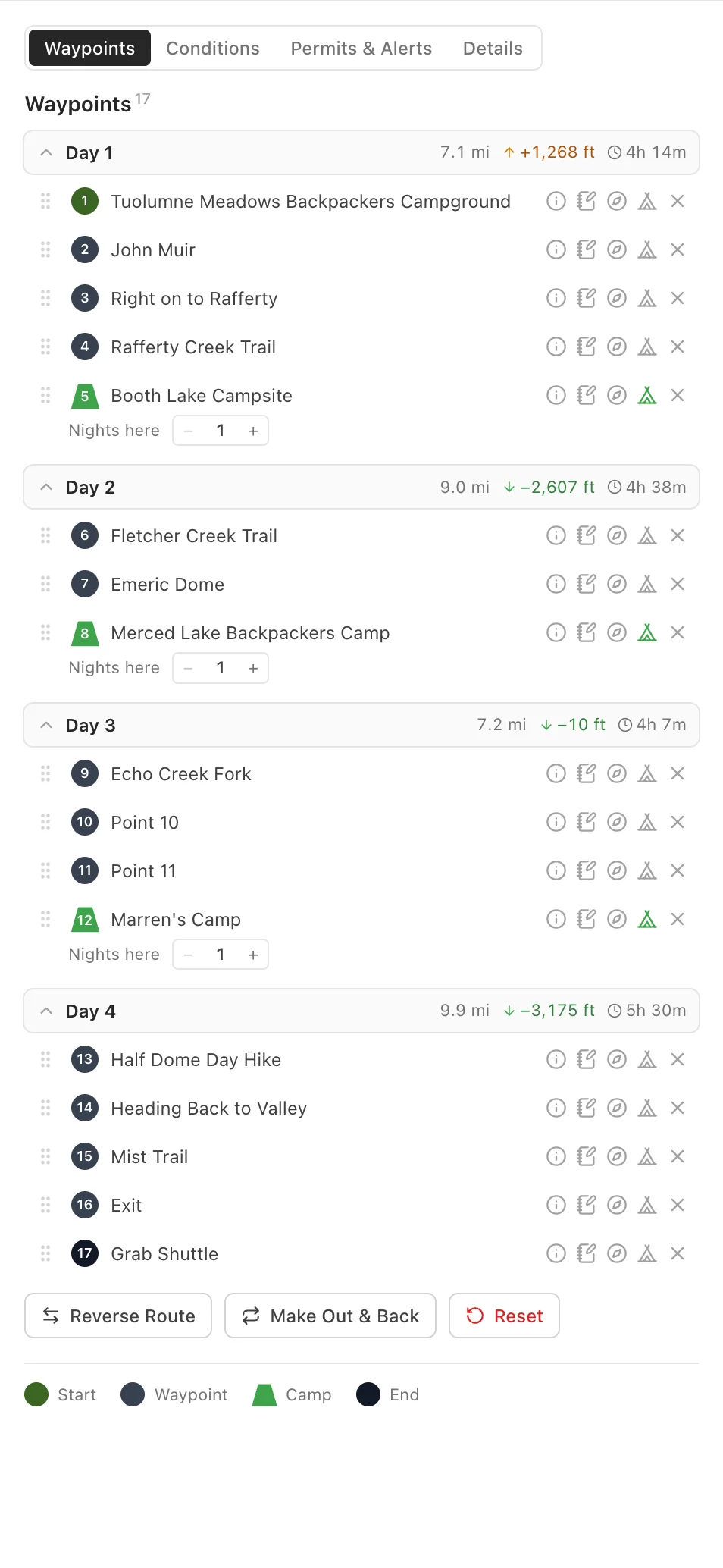
Built for the nights, not just the miles.
Fast Route Planning
Snap a trip together in minutes.
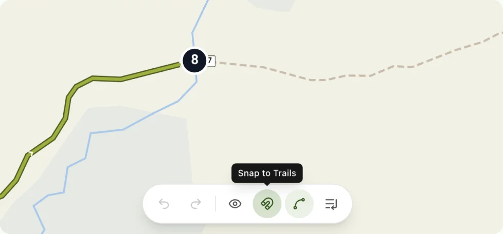
Tap the map and points snap to real trails. Go off-trail when you want; drag anything to reroute.
Made for Overnighters
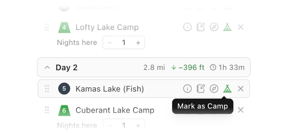
Mark where you'll sleep. We do the math.
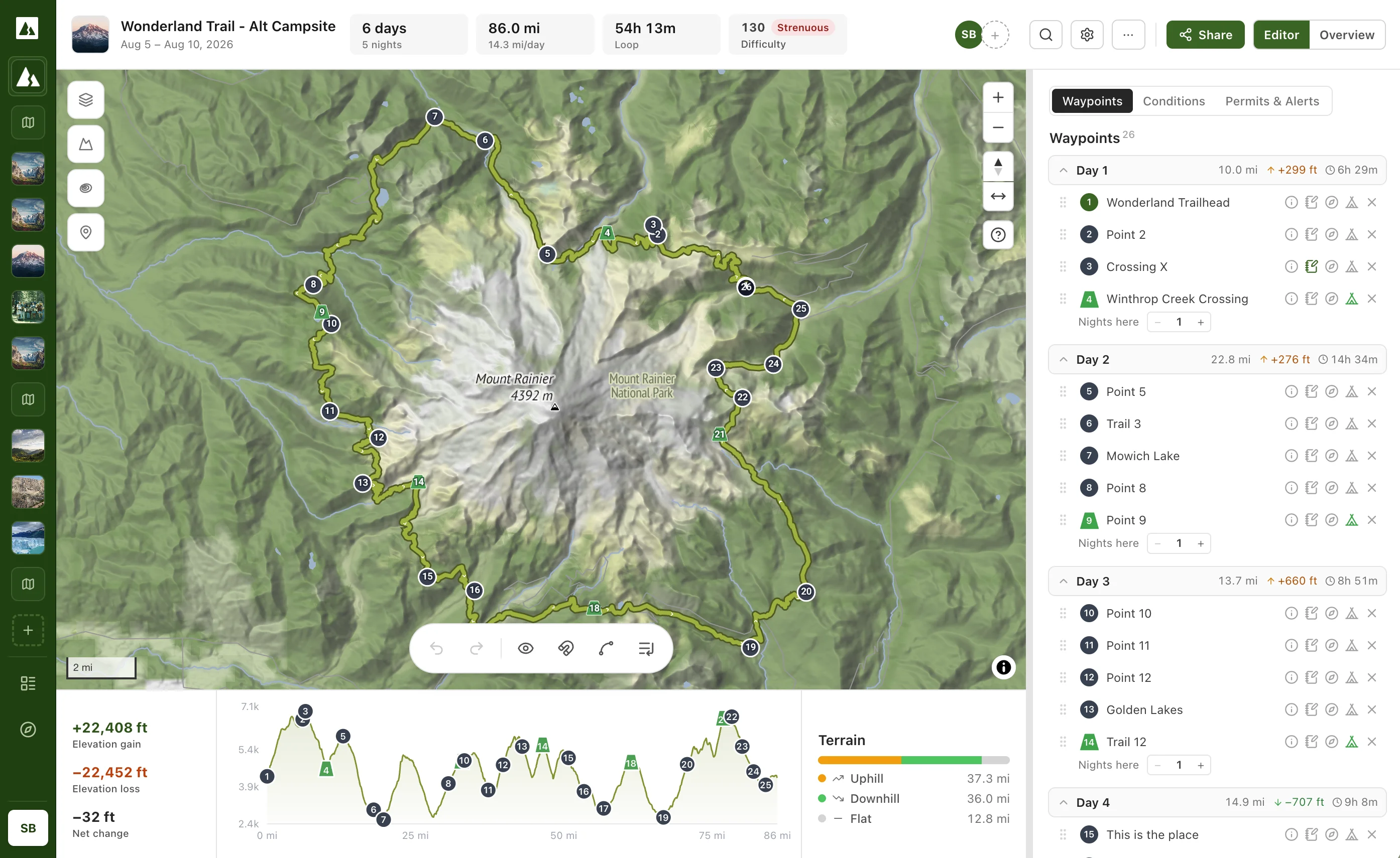
Drop a campsite and Ridgefold splits the whole trip into days: per-day miles, elevation, and hiking time between camps. Move a camp and every day recalculates automatically.
3D Terrain, Free
See the mountains first.
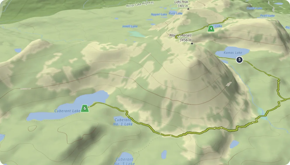
Free 3D terrain across every route. Tilt in and understand the climbs, the passes, the exposure — before you ever leave the trailhead.
Start for Free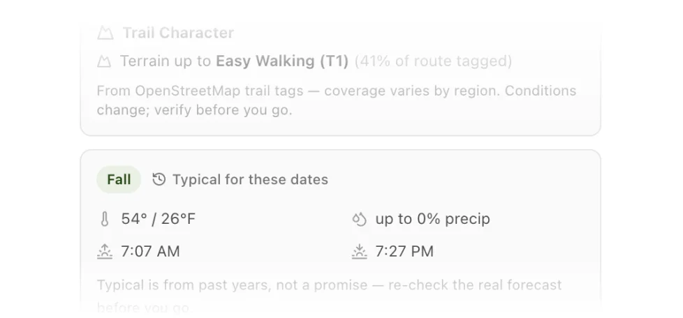
Know Before You Go
Permits, water, terrain conditions — built in.
Permit requirements and closures from official sources, water sources with your longest dry carry, and honest terrain ratings from real trail data.
Plan Together
Bring your friends and plan something epic, together.
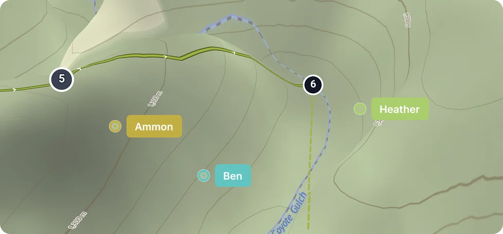
Invite a friend to edit with you live, on the same map. Share a view-only link. Publish to the community for others to use.
“App was awesome. I’ll definitely be using this to help plan my next trip.”
Try It for Free
Know every day before you go.
Draw the route, drop your camps, and the plan builds itself: per-day miles, elevation, hiking time, weather, and permits. Free for you and everyone you invite.
Powered by Open, Trusted Data



Trail data from OpenStreetMap. Elevation from SRTM. Permits, campgrounds, and closures from the U.S. National Park Service and Recreation.gov.