

Arizona Trail — Passage 17: Alamo Canyon
~2 days · 11.7 mi · easy · Point-to-point
Quick facts
What the Arizona Trail — Passage 17: Alamo Canyon is known for
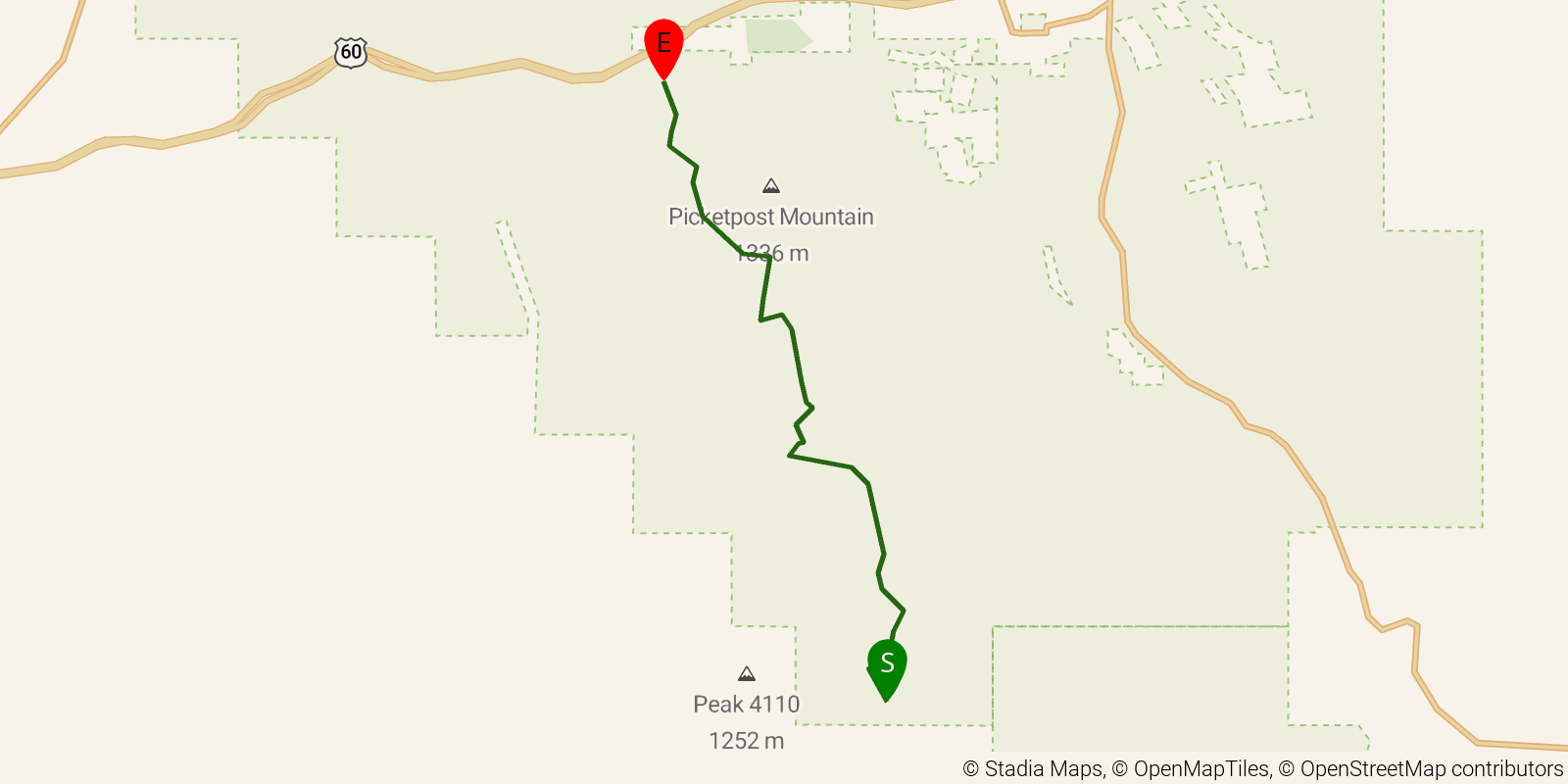
Passage 17 of Arizona Trail is an official 18.7 km point-to-point section from Tonto National Forest boundary to Picketpost Trailhead.
Elevation profile
Elevation ranges from 7,943 ft to 12,238 ft over 11.7 mi. Measured from OSM geometry (approximate).
- Uphill 2.3 mi · 20%
- Downhill 8.3 mi · 72%
- Flat 0.9 mi · 8%
Ridgefold breaks every route into uphill, downhill, and flat — see the full per-day breakdown in the app.
How hard is the Arizona Trail — Passage 17: Alamo Canyon?
On the Ridgefold Difficulty Index, the Arizona Trail — Passage 17: Alamo Canyon scores 8/100, a relative rating across the 1,243 trails we've mapped, blending distance, elevation gain, and steepness. It is a comparison within our set, not an official rating.
Frequently asked questions
How many days does the Arizona Trail — Passage 17: Alamo Canyon take?
Most backpackers hike the Arizona Trail — Passage 17: Alamo Canyon in about 2 days (1 nights out) over its 11.7 miles, though pace varies with fitness and conditions.
How much elevation gain is on the Arizona Trail — Passage 17: Alamo Canyon?
The Arizona Trail — Passage 17: Alamo Canyon climbs roughly 965 ft total — about 82 ft per mile, topping out near 3,760 ft.
Related trails
Sources & attribution
Route geometry from OpenStreetMap, © OpenStreetMap contributors, ODbL 1.0 — source relation. Stats are approximate and may differ from official surveys; permit rules and conditions change — verify with the managing authority before your trip. Last reviewed July 2026.