

Cathedral Pass Loop (Pasayten)
4 days · 61 mi · strenuous · Point-to-point
Quick facts
What the Cathedral Pass Loop (Pasayten) is known for
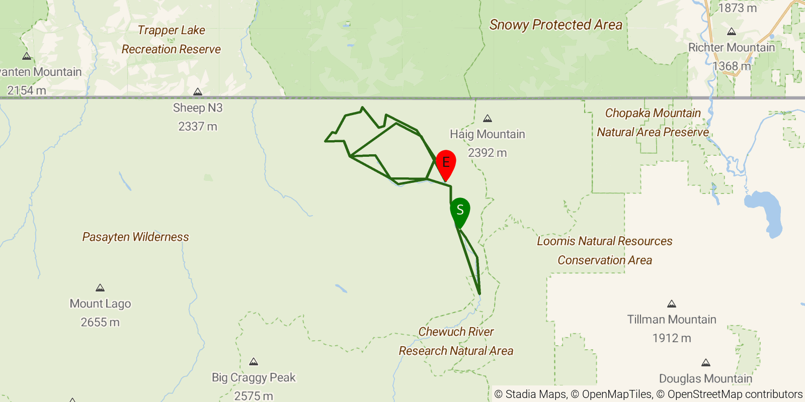
A roughly 44-mile loop deep in the Pasayten Wilderness, climbing from the Chewuch River valley to Cathedral Lakes and over Cathedral and Apex passes on the Boundary Trail, returning via Tungsten Creek. Remote granite high country and larch meadows near the Canadian border.
Elevation profile
Elevation ranges from 11,831 ft to 24,800 ft over 61 mi. Measured from OSM geometry (approximate).
- Uphill 31.6 mi · 52%
- Downhill 27.3 mi · 45%
- Flat 1.5 mi · 2%
Ridgefold breaks every route into uphill, downhill, and flat — see the full per-day breakdown in the app.
Frequently asked questions
How much elevation gain is on the Cathedral Pass Loop (Pasayten)?
The Cathedral Pass Loop (Pasayten) climbs roughly 9,672 ft total — about 159 ft per mile, topping out near 7,569 ft.
Related trails
Sources & attribution
Route geometry and stats derived from OpenStreetMap (© OpenStreetMap contributors, ODbL) — source relation. Stats are approximate and may differ from official surveys; permit rules and conditions change — verify with the managing authority before your trip. Last reviewed July 2026.