

CDT — Idaho & Montana Section
60 days · 959.8 mi · strenuous · Point-to-point
Quick facts
What the CDT — Idaho & Montana Section is known for
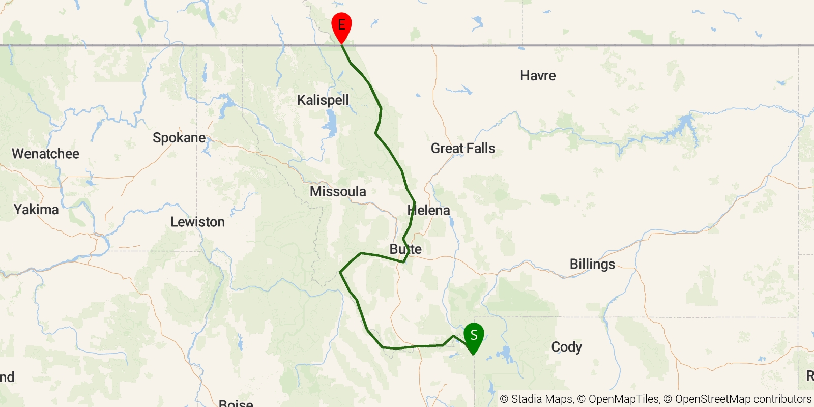
The Montana-Idaho portion of the Continental Divide Trail, roughly 970 miles from the Yellowstone country on the Wyoming border north to Canada at Glacier National Park's Waterton Valley. The route rides the Divide through the Centennial Mountains, the Anaconda-Pintler Wilderness, the Bob Marshall Wilderness complex, and Glacier. A point-to-point thru-hike of this stretch typically takes around two months.
Elevation profile
Elevation ranges from 13,927 ft to 32,142 ft over 959.8 mi. Measured from OSM geometry (approximate).
- Uphill 167.5 mi · 17%
- Downhill 287.5 mi · 30%
- Flat 504.7 mi · 53%
Ridgefold breaks every route into uphill, downhill, and flat — see the full per-day breakdown in the app.
Frequently asked questions
How much elevation gain is on the CDT — Idaho & Montana Section?
The CDT — Idaho & Montana Section climbs roughly 161,496 ft total — about 168 ft per mile, topping out near 10,089 ft.
Related trails
Sources & attribution
Route geometry and stats derived from OpenStreetMap (© OpenStreetMap contributors, ODbL) — source relation. Stats are approximate and may differ from official surveys; permit rules and conditions change — verify with the managing authority before your trip. Last reviewed July 2026.