

Death Hollow (upper)
3 days · 201.3 mi · strenuous · Multi-day trek
Quick facts
What the Death Hollow (upper) is known for
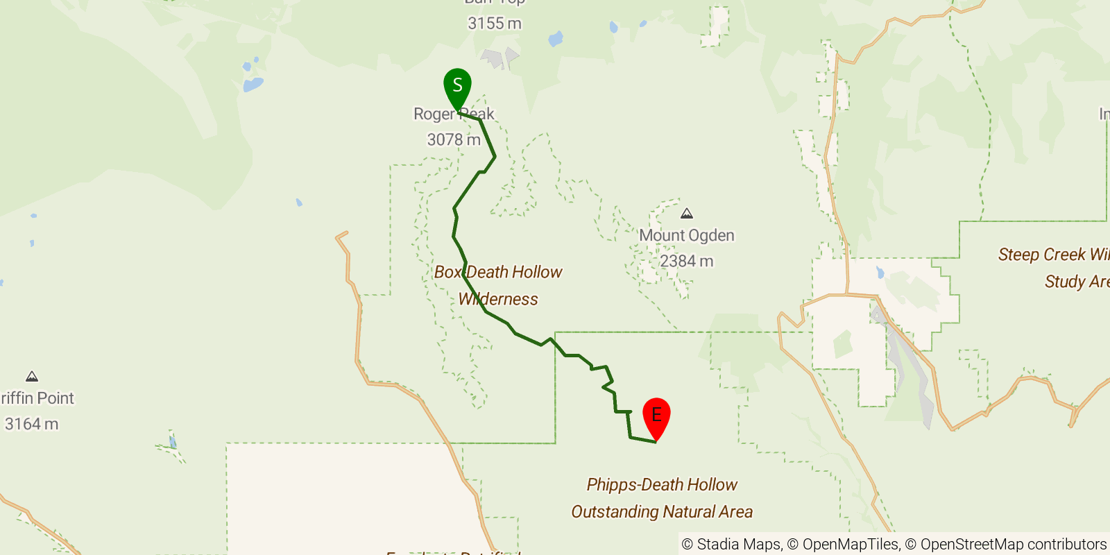
Canyon route down upper Death Hollow in the Escalante country of southern Utah, hiked downstream from Hell's Backbone Road to the Boulder Mail Trail crossing. Expect frequent creek walking in a narrowing slickrock canyon with some brushy, slot-like stretches and abundant poison ivy. Roughly 15 miles one-way as drawn; most parties take 2-3 days.
Elevation profile
Elevation ranges from 18,688 ft to 32,001 ft over 201.3 mi. Measured from OSM geometry (approximate).
- Uphill 57.9 mi · 29%
- Downhill 92.5 mi · 46%
- Flat 50.8 mi · 25%
Ridgefold breaks every route into uphill, downhill, and flat — see the full per-day breakdown in the app.
Frequently asked questions
How much elevation gain is on the Death Hollow (upper)?
The Death Hollow (upper) climbs roughly 28,343 ft total — about 141 ft per mile, topping out near 9,951 ft.
Related trails
Sources & attribution
Route geometry and stats derived from OpenStreetMap (© OpenStreetMap contributors, ODbL) — source relation. Stats are approximate and may differ from official surveys; permit rules and conditions change — verify with the managing authority before your trip. Last reviewed July 2026.