

Florida National Scenic Trail
57 days · 1666.8 mi · strenuous · Point-to-point
Quick facts
What the Florida National Scenic Trail is known for
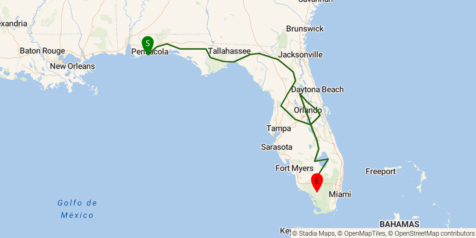
The Florida Trail runs the length of the state from Big Cypress National Preserve to Gulf Islands National Seashore near Pensacola. The thru-hike route is about 1,100 miles; the full corridor mapped here, including both routes around Lake Okeechobee and other alternates, totals roughly 1,500 miles. Terrain is flat but often wet — swamp, pine flatwoods, prairie, and levee walking — and thru-hikers typically take around 2 months.
Elevation profile
Elevation ranges from 23 ft to 548 ft over 1666.8 mi. Measured from OSM geometry (approximate).
- Uphill 0.0 mi · 0%
- Downhill 0.0 mi · 0%
- Flat 1389.3 mi · 100%
Ridgefold breaks every route into uphill, downhill, and flat — see the full per-day breakdown in the app.
Frequently asked questions
How much elevation gain is on the Florida National Scenic Trail?
The Florida National Scenic Trail climbs roughly 13,648 ft total — about 8 ft per mile, topping out near 246 ft.
Related trails
Sources & attribution
Route geometry and stats derived from OpenStreetMap (© OpenStreetMap contributors, ODbL) — source relation. Stats are approximate and may differ from official surveys; permit rules and conditions change — verify with the managing authority before your trip. Last reviewed July 2026.