

Florida NST — Central Region
20 days · 653.7 mi · strenuous · Point-to-point
Quick facts
What the Florida NST — Central Region is known for
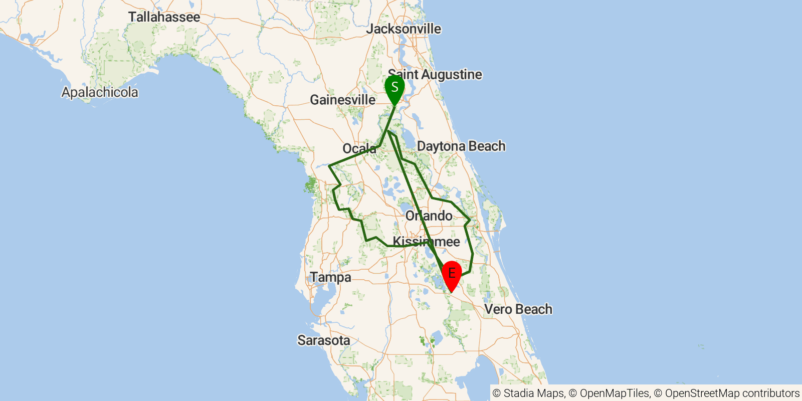
Florida NST — Central Region is a 15-25-day point-to-point section of the Florida National Scenic Trail crossing Ocala National Forest — the heart of Florida's scrub and sandhill country — and threading through palmetto prairie, pine flatwoods, cypress sloughs, freshwater marshes, and oak hammocks between the St. Johns River corridor in the east and the Withlacoochee State Forest in the west. The route is flat and forested throughout, with frequent wetland crossings and dramatic seasonal water levels that can make sections significantly more challenging in wet years.
Elevation profile
Elevation ranges from 98 ft to 486 ft over 653.7 mi. Measured from OSM geometry (approximate).
- Uphill 0.0 mi · 0%
- Downhill 0.0 mi · 0%
- Flat 652.3 mi · 100%
Ridgefold breaks every route into uphill, downhill, and flat — see the full per-day breakdown in the app.
Frequently asked questions
How much elevation gain is on the Florida NST — Central Region?
The Florida NST — Central Region climbs roughly 10,066 ft total — about 15 ft per mile, topping out near 226 ft.
Related trails
Sources & attribution
Route geometry and stats derived from OpenStreetMap (© OpenStreetMap contributors, ODbL) — source relation. Stats are approximate and may differ from official surveys; permit rules and conditions change — verify with the managing authority before your trip. Last reviewed July 2026.