

Grand Enchantment Trail — Segment 10
~3 days · 25.8 mi · hard · Point-to-point
Quick facts
What the Grand Enchantment Trail — Segment 10 is known for
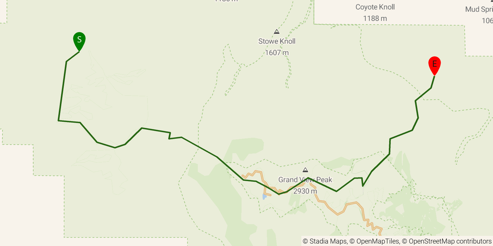
Segment 10 of the Grand Enchantment Trail crosses the Pinaleno Mountains, the sky-island range holding Mount Graham, between Tripp Canyon Road and the Ash Creek trailhead near Pima, Arizona. Published at 25.9 miles point-to-point with a huge climb and descent; the GET guide currently advises an alternate bypass route due to conditions in upper Ash Creek.
Elevation profile
Elevation ranges from 16,211 ft to 32,785 ft over 25.8 mi. Measured from OSM geometry (approximate).
- Uphill 13.6 mi · 53%
- Downhill 11.9 mi · 47%
- Flat 0.0 mi · 0%
Ridgefold breaks every route into uphill, downhill, and flat — see the full per-day breakdown in the app.
Frequently asked questions
How many days does the Grand Enchantment Trail — Segment 10 take?
Most backpackers hike the Grand Enchantment Trail — Segment 10 in about 3 days (2 nights out) over its 25.8 miles, though pace varies with fitness and conditions.
How much elevation gain is on the Grand Enchantment Trail — Segment 10?
The Grand Enchantment Trail — Segment 10 climbs roughly 7,156 ft total — about 277 ft per mile, topping out near 10,000 ft.
Related trails
Sources & attribution
Route geometry and stats derived from OpenStreetMap (© OpenStreetMap contributors, ODbL) — source relation. Stats are approximate and may differ from official surveys; permit rules and conditions change — verify with the managing authority before your trip. Last reviewed July 2026.