

Grand Gulch Primitive Area
~3 days · 33.5 mi · hard · Point-to-point
Quick facts
What the Grand Gulch Primitive Area is known for
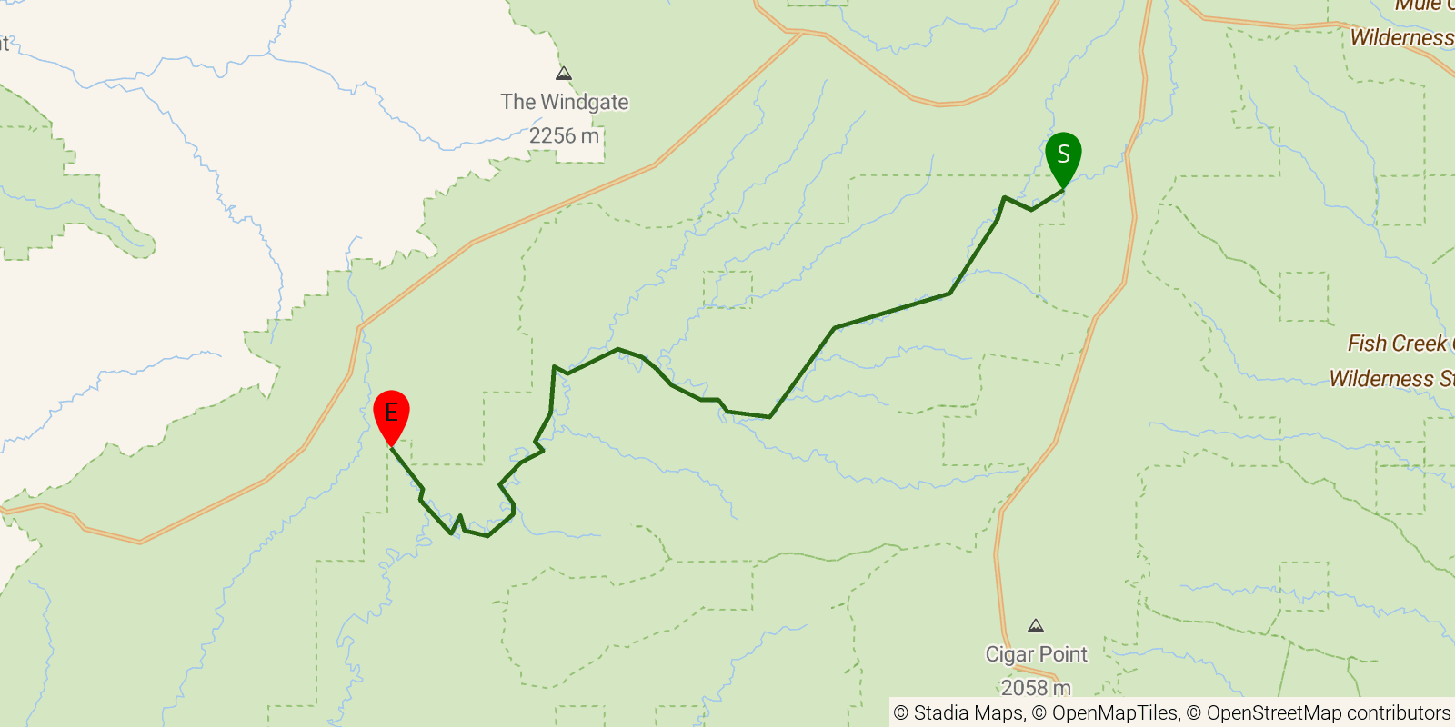
A multi-day point-to-point through Grand Gulch Primitive Area in Utah's Bears Ears National Monument, traversing one of the Southwest's richest collections of Ancestral Puebloan cliff dwellings and rock art. The route runs approximately 34 miles (54 km by trail GPS) through deeply sinuous Cedar Mesa sandstone canyons from Kane Gulch Ranger Station to Collins Spring Canyon Trailhead; the published "23-mile" figure reflects straight-line map measurement, while actual hiking distance through the winding canyon floor is considerably longer. Permit required from the BLM Monticello Field Office; water available from canyon springs and seeps (treat all water).
Elevation profile
Elevation ranges from 15,748 ft to 20,463 ft over 33.5 mi. Measured from OSM geometry (approximate).
- Uphill 6.5 mi · 20%
- Downhill 18.0 mi · 54%
- Flat 8.8 mi · 26%
Ridgefold breaks every route into uphill, downhill, and flat — see the full per-day breakdown in the app.
Frequently asked questions
How many days does the Grand Gulch Primitive Area take?
Most backpackers hike the Grand Gulch Primitive Area in about 3 days (2 nights out) over its 33.5 miles, though pace varies with fitness and conditions.
How much elevation gain is on the Grand Gulch Primitive Area?
The Grand Gulch Primitive Area climbs roughly 6,001 ft total — about 179 ft per mile, topping out near 6,237 ft.
Related trails
Sources & attribution
Route geometry and stats derived from OpenStreetMap (© OpenStreetMap contributors, ODbL) — source relation. Stats are approximate and may differ from official surveys; permit rules and conditions change — verify with the managing authority before your trip. Last reviewed July 2026.