

Kekekabic Trail
~4 days · 38.5 mi · moderate · Point-to-point
Quick facts
What the Kekekabic Trail is known for
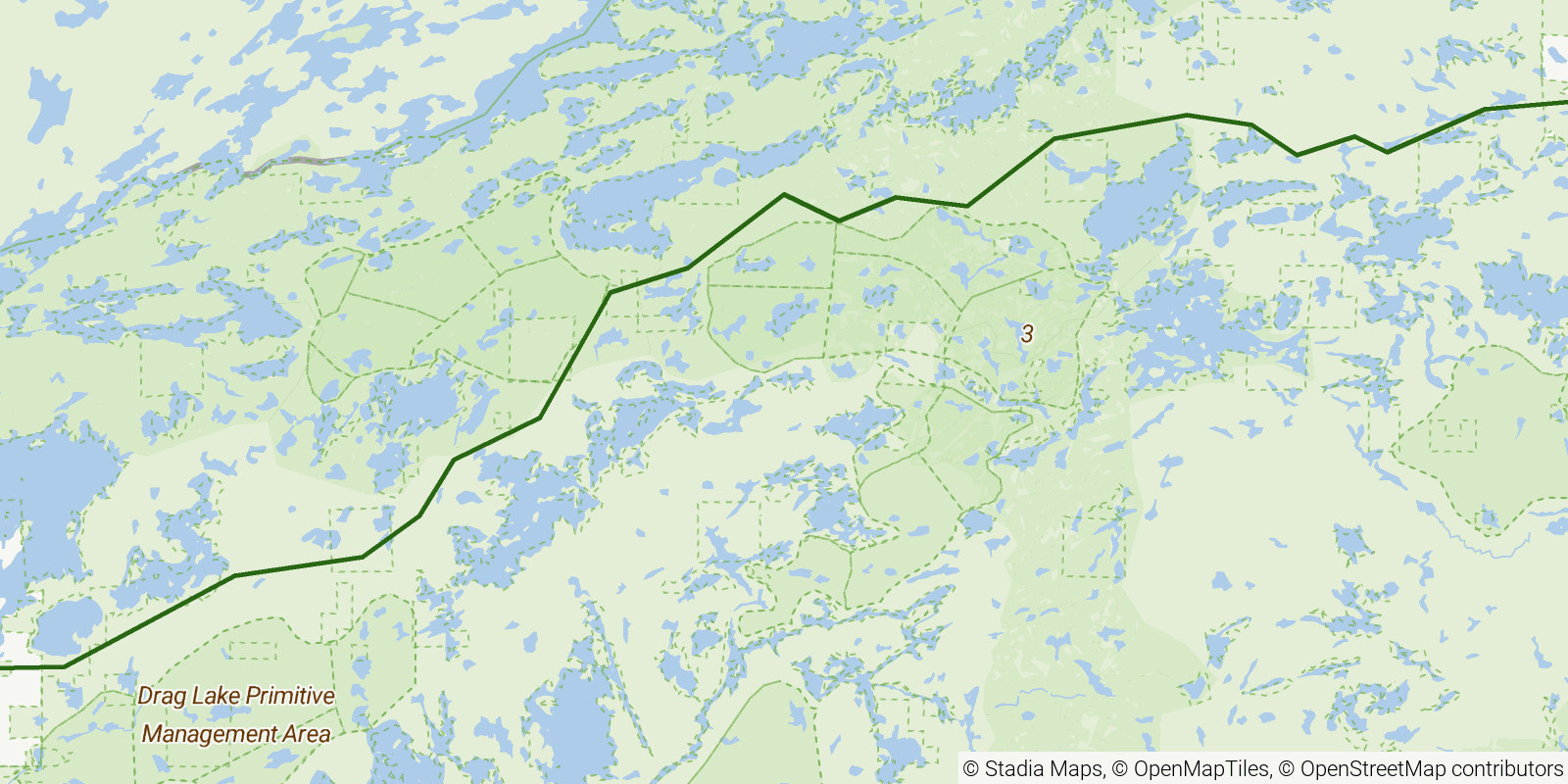
The 'Kek,' a remote point-to-point through-trail crossing the interior of the Boundary Waters Canoe Area Wilderness in northern Minnesota's Superior National Forest. It links the Gunflint Trail area to the Ely side, passing lakes including Agamok, Harness, and Mine through boreal forest, with beaver dams, rocky ridges, and stretches that can be faint and overgrown. It forms part of the cross-state Border Route and is known as one of the few long footpaths through the canoe-country wilderness.
Elevation profile
Elevation ranges from 1,460 ft to 1,952 ft over 38.5 mi. Measured from OSM geometry (approximate).
- Uphill 3.4 mi · 9%
- Downhill 4.2 mi · 11%
- Flat 30.3 mi · 80%
Ridgefold breaks every route into uphill, downhill, and flat — see the full per-day breakdown in the app.
How hard is the Kekekabic Trail?
On the Ridgefold Difficulty Index, the Kekekabic Trail scores 15/100, a relative rating across the 569 trails we've mapped, blending distance, elevation gain, and steepness. It is a comparison within our set, not an official rating.
Best season & permits
Season: Best from late spring through fall after snowmelt; the north woods bring heavy bugs in early summer and deep snow in winter.
Permits: A BWCAW overnight hiking permit is required from the Superior National Forest, with quota-controlled entry at the trail's designated wilderness access points.
Official trail & permit info
Always confirm current conditions, closures, and permit rules with the managing authority before your trip.
Frequently asked questions
How many days does the Kekekabic Trail take?
Most backpackers hike the Kekekabic Trail in about 4 days (3 nights out) over its 38.5 miles, though pace varies with fitness and conditions.
How much elevation gain is on the Kekekabic Trail?
The Kekekabic Trail climbs roughly 3,022 ft total — about 78 ft per mile, topping out near 1,959 ft.
When is the best time to hike the Kekekabic Trail?
Best from late spring through fall after snowmelt; the north woods bring heavy bugs in early summer and deep snow in winter.
Do you need a permit for the Kekekabic Trail?
A BWCAW overnight hiking permit is required from the Superior National Forest, with quota-controlled entry at the trail's designated wilderness access points.
Related trails
Sources & attribution
Route geometry and stats derived from OpenStreetMap (© OpenStreetMap contributors, ODbL) — source relation. Stats are approximate and may differ from official surveys; permit rules and conditions change — verify with the managing authority before your trip. Last reviewed July 2026.