

La Cloche Silhouette Trail
~4 days · 45.7 mi · hard · Loop
Quick facts
What the La Cloche Silhouette Trail is known for
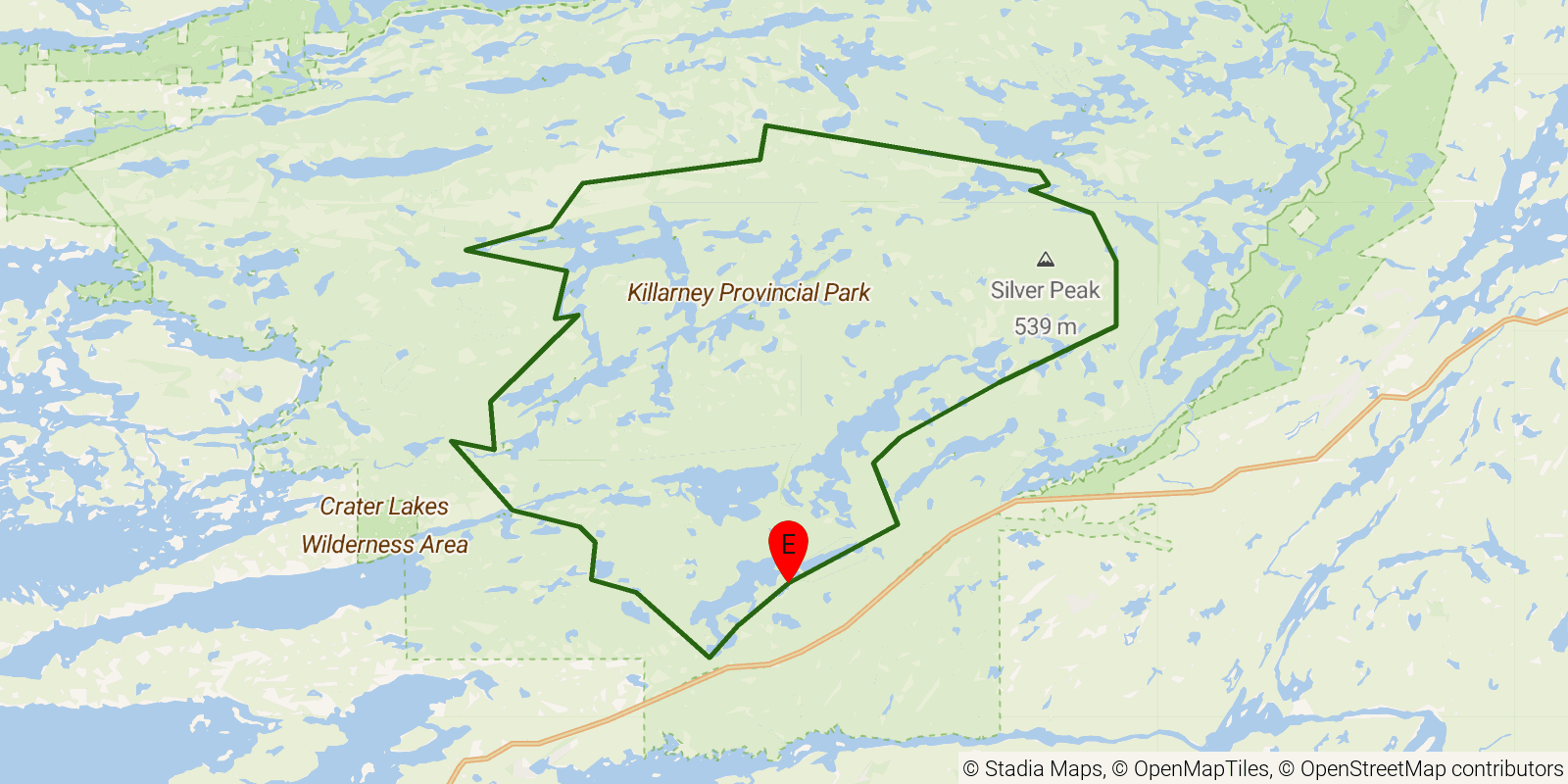
A backcountry loop in Killarney Provincial Park, Ontario, that traverses the white quartzite ridges of the La Cloche Mountains above a scatter of clear, acidic lakes. The landscape was made famous by Canada's Group of Seven painters, particularly A.Y. Jackson, and the park's Silver Peak sits on the range as one of the region's high points. It is a rugged, rooty circuit known for demanding ridge climbs and technical footing rather than gentle grades.
Elevation profile
Elevation ranges from 620 ft to 1,289 ft over 45.7 mi. Measured from OSM geometry (approximate).
- Uphill 9.2 mi · 20%
- Downhill 9.9 mi · 22%
- Flat 26.6 mi · 58%
Ridgefold breaks every route into uphill, downhill, and flat — see the full per-day breakdown in the app.
How hard is the La Cloche Silhouette Trail?
On the Ridgefold Difficulty Index, the La Cloche Silhouette Trail scores 24/100, a relative rating across the 569 trails we've mapped, blending distance, elevation gain, and steepness. It is a comparison within our set, not an official rating.
Best season & permits
Season: Best hiked from late spring through fall (roughly May to October), with September offering cooler temperatures and fall color once the summer heat and bugs subside.
Permits: Requires an Ontario Parks backcountry camping permit with reserved site or zone bookings through the Killarney Provincial Park reservation system.
Official trail & permit info
Always confirm current conditions, closures, and permit rules with the managing authority before your trip.
Frequently asked questions
How many days does the La Cloche Silhouette Trail take?
Most backpackers hike the La Cloche Silhouette Trail in about 4 days (3 nights out) over its 45.7 miles, though pace varies with fitness and conditions.
How much elevation gain is on the La Cloche Silhouette Trail?
The La Cloche Silhouette Trail climbs roughly 6,371 ft total — about 139 ft per mile, topping out near 1,312 ft.
When is the best time to hike the La Cloche Silhouette Trail?
Best hiked from late spring through fall (roughly May to October), with September offering cooler temperatures and fall color once the summer heat and bugs subside.
Do you need a permit for the La Cloche Silhouette Trail?
Requires an Ontario Parks backcountry camping permit with reserved site or zone bookings through the Killarney Provincial Park reservation system.
Related trails
Sources & attribution
Route geometry and stats derived from OpenStreetMap (© OpenStreetMap contributors, ODbL) — source relation. Stats are approximate and may differ from official surveys; permit rules and conditions change — verify with the managing authority before your trip. Last reviewed July 2026.