

Missouri Lakes
~2 days · 4.5 mi · easy · Point-to-point
Quick facts
What the Missouri Lakes is known for
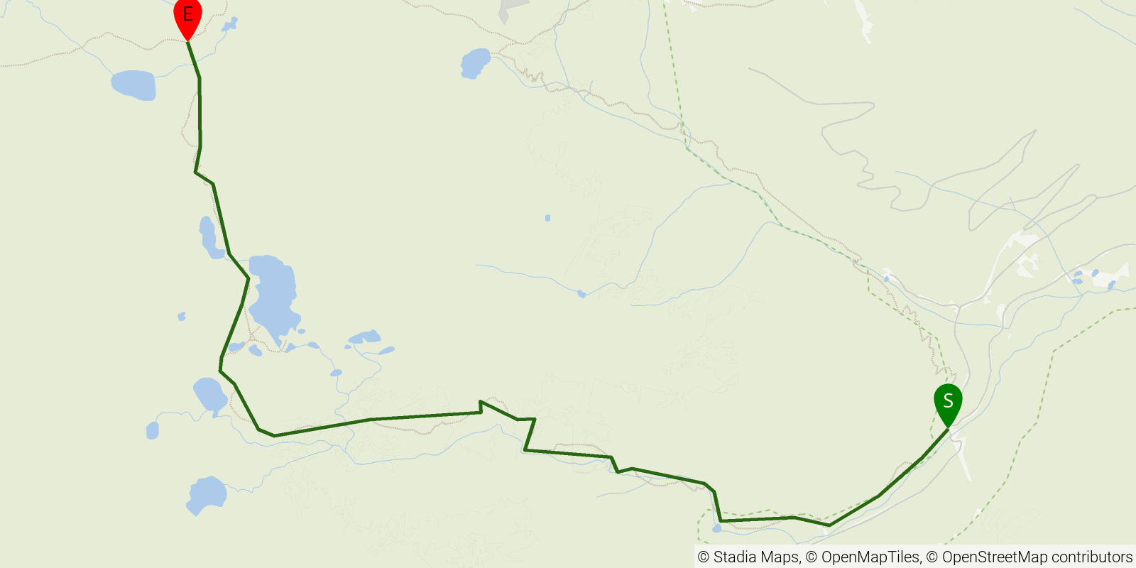
An out-and-back into the Missouri Lakes cirque in Colorado's Holy Cross Wilderness, Eagle County. The ~7-mile one-way route (trail #2003) climbs from the Fancy Creek Trailhead through aspen and spruce forest to a stunning alpine basin ringed with peaks, reaching the upper lakes at nearly 12,000 feet — a classic two-day moderate trip.
Elevation profile
Elevation ranges from 32,851 ft to 39,373 ft over 4.5 mi. Measured from OSM geometry (approximate).
- Uphill 3.9 mi · 88%
- Downhill 0.6 mi · 12%
- Flat 0.0 mi · 0%
Ridgefold breaks every route into uphill, downhill, and flat — see the full per-day breakdown in the app.
Frequently asked questions
How many days does the Missouri Lakes take?
Most backpackers hike the Missouri Lakes in about 2 days (1 nights out) over its 4.5 miles, though pace varies with fitness and conditions.
How high does the Missouri Lakes go?
The Missouri Lakes tops out near 12,001 ft over its 4.5 miles.
Related trails
Sources & attribution
Route geometry and stats derived from OpenStreetMap (© OpenStreetMap contributors, ODbL) — source relation. Stats are approximate and may differ from official surveys; permit rules and conditions change — verify with the managing authority before your trip. Last reviewed July 2026.