

Mountains-to-Sea Trail — Segment 3
4 days · 68 mi · strenuous · Point-to-point
Quick facts
What the Mountains-to-Sea Trail — Segment 3 is known for
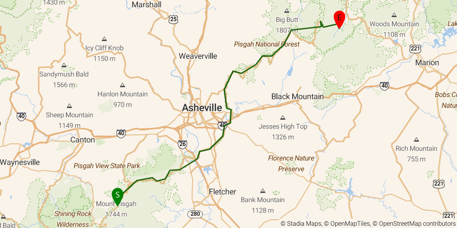
Segment 3 of the Mountains-to-Sea Trail — "The High Peaks and Asheville" — stretches from the Pisgah Inn northeast to Black Mountain Campground on the South Toe River, about 52 miles that include the highest point on the entire MST: the summit of Mount Mitchell at 6,684 feet, the tallest peak east of the Mississippi. The route follows the historic Shut-In Trail (once George Vanderbilt's bridle path) through Pisgah National Forest, past Craggy Gardens and its famous rhododendron display, with road crossings near Asheville providing resupply options. The 4-day push is rated strenuous, with a 4,600-foot swing in elevation between the French Broad River valley and Mitchell's summit.
Elevation profile
Elevation ranges from 6,663 ft to 21,440 ft over 68 mi. Measured from OSM geometry (approximate).
- Uphill 37.5 mi · 55%
- Downhill 28.6 mi · 42%
- Flat 1.6 mi · 2%
Ridgefold breaks every route into uphill, downhill, and flat — see the full per-day breakdown in the app.
Frequently asked questions
How much elevation gain is on the Mountains-to-Sea Trail — Segment 3?
The Mountains-to-Sea Trail — Segment 3 climbs roughly 14,127 ft total — about 208 ft per mile, topping out near 6,637 ft.
Related trails
Sources & attribution
Route geometry and stats derived from OpenStreetMap (© OpenStreetMap contributors, ODbL) — source relation. Stats are approximate and may differ from official surveys; permit rules and conditions change — verify with the managing authority before your trip. Last reviewed July 2026.