

Mountains-to-Sea Trail — Segment 7
2 days · 34.8 mi · hard · Point-to-point
Quick facts
What the Mountains-to-Sea Trail — Segment 7 is known for
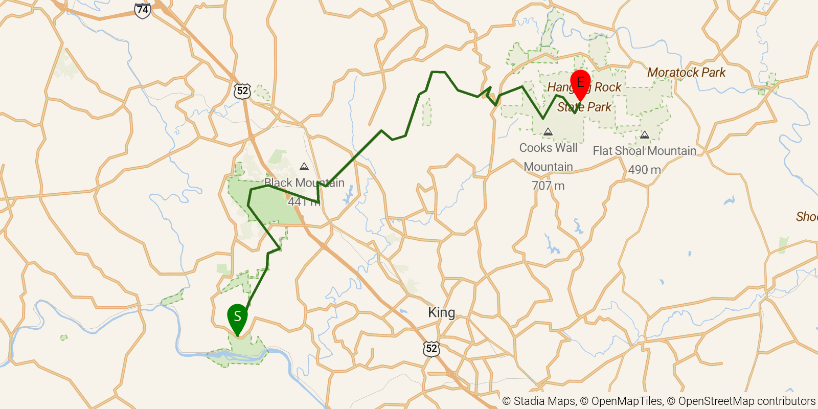
Segment 7 of the Mountains-to-Sea Trail — "The Sauratown Mountains" — links two standout Piedmont state parks, running from Pilot Mountain State Park to Hanging Rock State Park in Stokes County, about 28 miles across the quartzite monadnocks of the Sauratown range. The route traverses the Sauratown Trail through private farmland and forest with views of Pilot Mountain's famous Big Pinnacle, then climbs to Moore's Knob fire tower at Hanging Rock for 360-degree panoramas over the Piedmont. The 2-day traverse is rated moderate to strenuous; note that the Sauratown Trail corridor prohibits camping and dogs on private-land sections, so planning is required.
Elevation profile
Elevation ranges from 2,799 ft to 8,268 ft over 34.8 mi. Measured from OSM geometry (approximate).
- Uphill 17.2 mi · 50%
- Downhill 14.6 mi · 42%
- Flat 2.6 mi · 8%
Ridgefold breaks every route into uphill, downhill, and flat — see the full per-day breakdown in the app.
Frequently asked questions
How much elevation gain is on the Mountains-to-Sea Trail — Segment 7?
The Mountains-to-Sea Trail — Segment 7 climbs roughly 5,010 ft total — about 144 ft per mile, topping out near 2,530 ft.
Related trails
Sources & attribution
Route geometry and stats derived from OpenStreetMap (© OpenStreetMap contributors, ODbL) — source relation. Stats are approximate and may differ from official surveys; permit rules and conditions change — verify with the managing authority before your trip. Last reviewed July 2026.