

North Country NST — North Dakota
20 days · 447.8 mi · strenuous · Point-to-point
Quick facts
What the North Country NST — North Dakota is known for
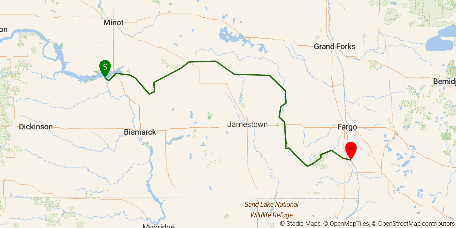
North Country NST — North Dakota is a 15-25-day point-to-point route stretching from Lake Sakakawea State Park in the west across the Missouri Plateau, through prairie pothole wetlands and the McClusky Canal corridor, into the Sheyenne River valley and Sheyenne National Grassland, and east to Fort Abercrombie State Park on the Red River at the Minnesota border. Terrain is predominantly flat to gently rolling — open grassland, wetland sloughs, and riparian corridors — making it the most accessible and least technical section of the entire National Scenic Trail.
Elevation profile
Elevation ranges from 3,077 ft to 6,362 ft over 447.8 mi. Measured from OSM geometry (approximate).
- Uphill 0.0 mi · 0%
- Downhill 0.0 mi · 0%
- Flat 446.9 mi · 100%
Ridgefold breaks every route into uphill, downhill, and flat — see the full per-day breakdown in the app.
Frequently asked questions
How much elevation gain is on the North Country NST — North Dakota?
The North Country NST — North Dakota climbs roughly 6,512 ft total — about 15 ft per mile, topping out near 1,978 ft.
Related trails
Sources & attribution
Route geometry and stats derived from OpenStreetMap (© OpenStreetMap contributors, ODbL) — source relation. Stats are approximate and may differ from official surveys; permit rules and conditions change — verify with the managing authority before your trip. Last reviewed July 2026.