

Palmetto Trail — Peach Country Passage
1 days · 15.9 mi · easy · Point-to-point
Quick facts
What the Palmetto Trail — Peach Country Passage is known for
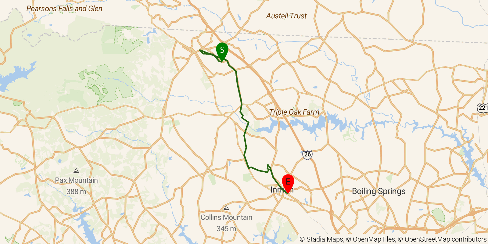
The Peach Country Passage runs about 15 miles through the Blue Ridge foothills of Upstate South Carolina near the Polk County, NC border, descending through the transitional zone where the mountains give way to orchard country historically known for peach cultivation. The route crosses hardwood hollows and open ridgelines as the trail links the Blue Wall and Jocassee Gorges area southward toward Spartanburg County. Maintained by the Palmetto Conservation Foundation as part of the ~500-mile Palmetto Trail.
Elevation profile
Elevation ranges from 2,776 ft to 3,799 ft over 15.9 mi. Measured from OSM geometry (approximate).
- Uphill 6.5 mi · 41%
- Downhill 5.6 mi · 35%
- Flat 3.9 mi · 24%
Ridgefold breaks every route into uphill, downhill, and flat — see the full per-day breakdown in the app.
Frequently asked questions
How much elevation gain is on the Palmetto Trail — Peach Country Passage?
The Palmetto Trail — Peach Country Passage climbs roughly 758 ft total — about 48 ft per mile, topping out near 1,161 ft.
Related trails
Sources & attribution
Route geometry and stats derived from OpenStreetMap (© OpenStreetMap contributors, ODbL) — source relation. Stats are approximate and may differ from official surveys; permit rules and conditions change — verify with the managing authority before your trip. Last reviewed July 2026.