

Sisson-Callahan National Recreation Trail
~2 days · 9.7 mi · moderate · Point-to-point
Quick facts
What the Sisson-Callahan National Recreation Trail is known for
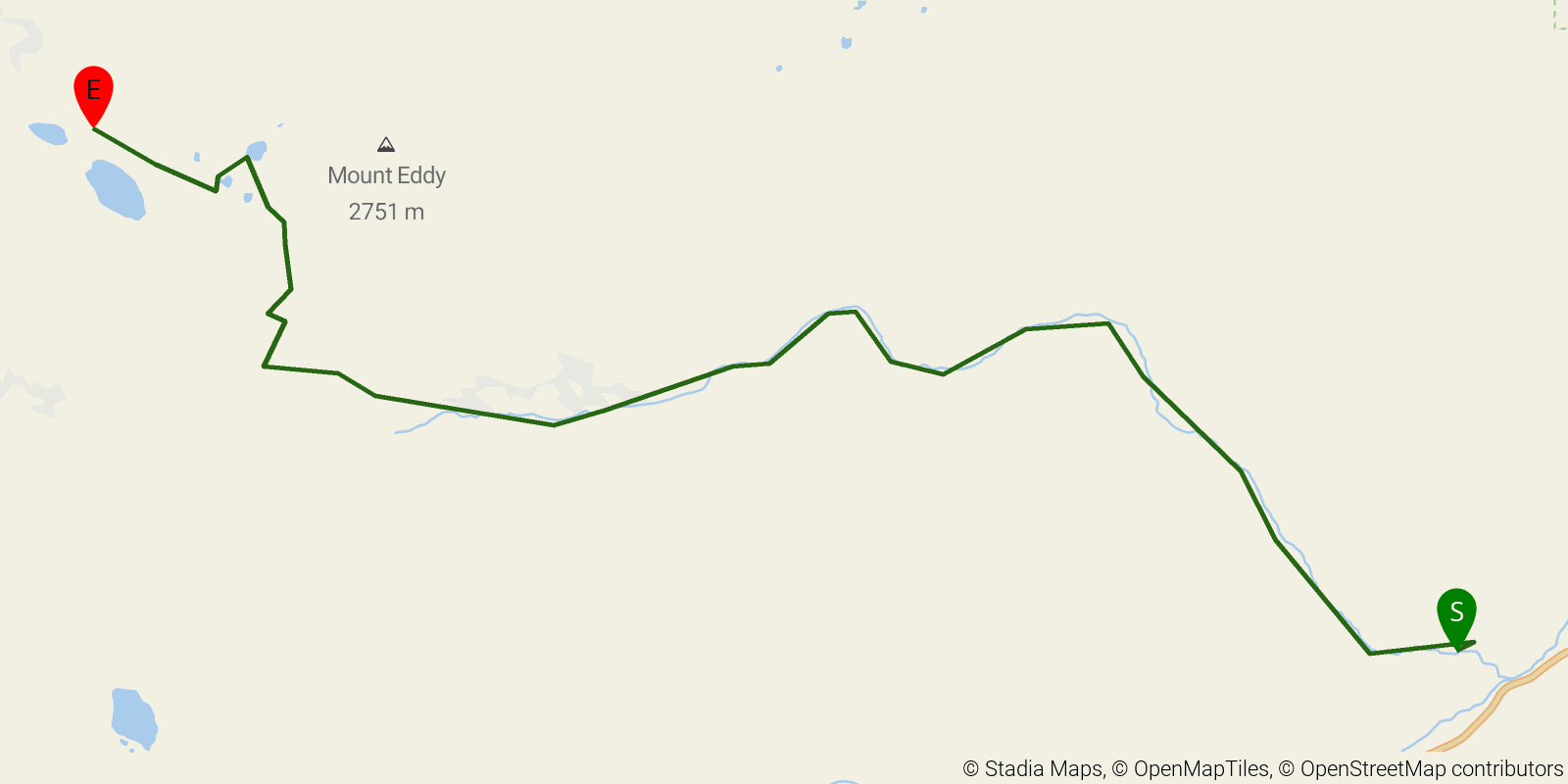
The historic Sisson-Callahan National Recreation Trail climbs about 10 miles from the North Fork of the Sacramento River near Lake Siskiyou to the PCT at the Deadfall Lakes below Mt. Eddy, with steady views of Mount Shasta. Point-to-point (often linked with the PCT), usually an overnight.
Elevation profile
Elevation ranges from 11,581 ft to 26,220 ft over 9.7 mi. Measured from OSM geometry (approximate).
- Uphill 8.3 mi · 86%
- Downhill 1.4 mi · 14%
- Flat 0.0 mi · 0%
Ridgefold breaks every route into uphill, downhill, and flat — see the full per-day breakdown in the app.
Frequently asked questions
How many days does the Sisson-Callahan National Recreation Trail take?
Most backpackers hike the Sisson-Callahan National Recreation Trail in about 2 days (1 nights out) over its 9.7 miles, though pace varies with fitness and conditions.
How high does the Sisson-Callahan National Recreation Trail go?
The Sisson-Callahan National Recreation Trail tops out near 8,018 ft over its 9.7 miles.
Related trails
Sources & attribution
Route geometry and stats derived from OpenStreetMap (© OpenStreetMap contributors, ODbL) — source relation. Stats are approximate and may differ from official surveys; permit rules and conditions change — verify with the managing authority before your trip. Last reviewed July 2026.