

Grand Enchantment Trail — Segment 8
~3 days · 37.1 mi · hard · Point-to-point
Quick facts
What the Grand Enchantment Trail — Segment 8 is known for
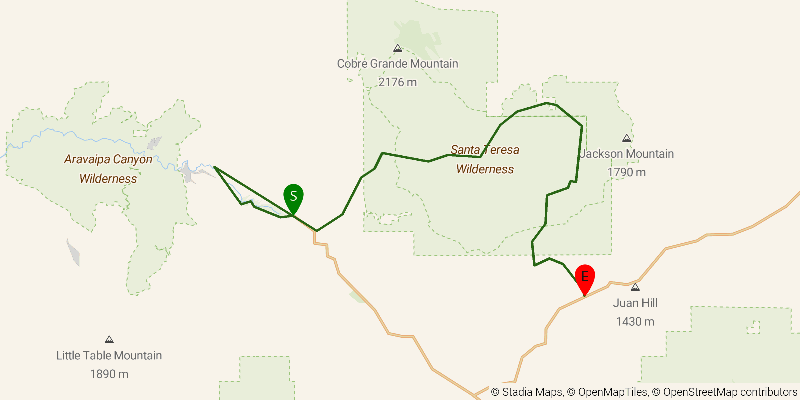
Segment 8 of the Grand Enchantment Trail through the Santa Teresa Wilderness of southeastern Arizona, a remote crossing of granite domes and canyons near Klondyke. About 38 miles point-to-point with substantial elevation gain; expect faint tread and limited water.
Elevation profile
Elevation ranges from 10,505 ft to 23,606 ft over 37.1 mi. Measured from OSM geometry (approximate).
- Uphill 15.9 mi · 43%
- Downhill 17.4 mi · 47%
- Flat 3.7 mi · 10%
Ridgefold breaks every route into uphill, downhill, and flat — see the full per-day breakdown in the app.
Frequently asked questions
How many days does the Grand Enchantment Trail — Segment 8 take?
Most backpackers hike the Grand Enchantment Trail — Segment 8 in about 3 days (2 nights out) over its 37.1 miles, though pace varies with fitness and conditions.
How much elevation gain is on the Grand Enchantment Trail — Segment 8?
The Grand Enchantment Trail — Segment 8 climbs roughly 6,260 ft total — about 169 ft per mile, topping out near 7,247 ft.
Related trails
Sources & attribution
Route geometry and stats derived from OpenStreetMap (© OpenStreetMap contributors, ODbL) — source relation. Stats are approximate and may differ from official surveys; permit rules and conditions change — verify with the managing authority before your trip. Last reviewed July 2026.