

Mountains-to-Sea Trail — Segment 1
3 days · 45.4 mi · strenuous · Point-to-point
Quick facts
What the Mountains-to-Sea Trail — Segment 1 is known for
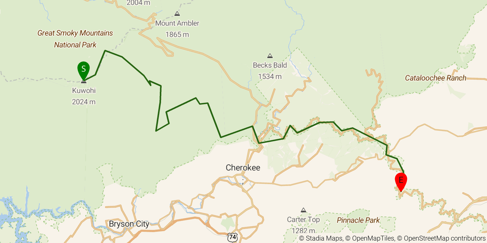
Segment 1 of the Mountains-to-Sea Trail — known as "Peak to Peak" — traces the western gateway of the trail from the observation tower atop Kuwohi (Clingmans Dome, 6,643 ft) in Great Smoky Mountains National Park northeast to Waterrock Knob along the Blue Ridge Parkway corridor, about 36 miles of high-elevation mountain travel. The route descends through GSMNP's old-growth cove forests past Deep Creek cascades and the historic Mingus Mill before climbing back onto the Parkway shoulder, including a 22-plus-mile roadless stretch that is the longest on the entire MST. This strenuous 3-day point-to-point is best hiked with a permit for GSMNP backcountry sites; most of the route is at or above 5,000 feet.
Elevation profile
Elevation ranges from 6,673 ft to 21,742 ft over 45.4 mi. Measured from OSM geometry (approximate).
- Uphill 22.7 mi · 50%
- Downhill 21.9 mi · 48%
- Flat 0.7 mi · 2%
Ridgefold breaks every route into uphill, downhill, and flat — see the full per-day breakdown in the app.
Frequently asked questions
How much elevation gain is on the Mountains-to-Sea Trail — Segment 1?
The Mountains-to-Sea Trail — Segment 1 climbs roughly 10,180 ft total — about 224 ft per mile, topping out near 6,627 ft.
Related trails
Sources & attribution
Route geometry and stats derived from OpenStreetMap (© OpenStreetMap contributors, ODbL) — source relation. Stats are approximate and may differ from official surveys; permit rules and conditions change — verify with the managing authority before your trip. Last reviewed July 2026.