

Mountains-to-Sea Trail — Segment 4
5 days · 107.9 mi · strenuous · Point-to-point
Quick facts
What the Mountains-to-Sea Trail — Segment 4 is known for
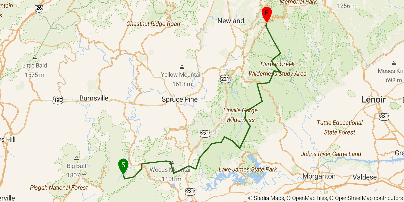
Segment 4 of the Mountains-to-Sea Trail — "Gorges, Peaks and Waterfalls" — runs from Black Mountain Campground on the South Toe River north to Beacon Heights on the Blue Ridge Parkway, about 56 miles through the rugged terrain of Pisgah National Forest and the Wilson Creek basin. The route climbs over Bald and Dobson Knobs (among the most challenging ascents on the entire trail), descends the dramatic 2,000-foot walls of Linville Gorge past Table Rock and Hawksbill, and crosses numerous waterfalls including Steels Creek and Hunt Fish Falls. This moderate-to-strenuous 5-day segment follows old logging railroad grades through a remote backcountry corridor with very few road crossings.
Elevation profile
Elevation ranges from 4,800 ft to 14,035 ft over 107.9 mi. Measured from OSM geometry (approximate).
- Uphill 49.7 mi · 46%
- Downhill 46.6 mi · 43%
- Flat 11.6 mi · 11%
Ridgefold breaks every route into uphill, downhill, and flat — see the full per-day breakdown in the app.
Frequently asked questions
How much elevation gain is on the Mountains-to-Sea Trail — Segment 4?
The Mountains-to-Sea Trail — Segment 4 climbs roughly 23,028 ft total — about 213 ft per mile, topping out near 4,321 ft.
Related trails
Sources & attribution
Route geometry and stats derived from OpenStreetMap (© OpenStreetMap contributors, ODbL) — source relation. Stats are approximate and may differ from official surveys; permit rules and conditions change — verify with the managing authority before your trip. Last reviewed July 2026.