

Uinta Highline Trail
~8 days · 102.5 mi · hard · Point-to-point
Quick facts
What the Uinta Highline Trail is known for
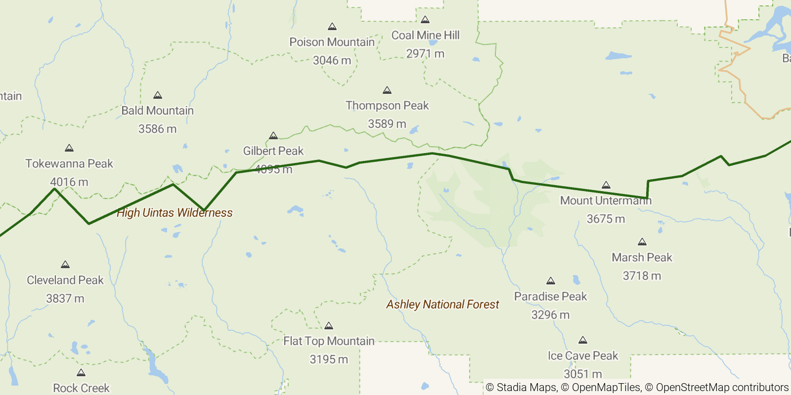
The Uinta Highline Trail is a long, high-alpine traverse across Utah's Uinta Mountains, the state's tallest range and one of the few major ranges in the U.S. running east-west. It stays largely above treeline over a series of passes and threads past hundreds of glacial lakes beneath peaks including Kings Peak, Utah's highest. Most of the route lies within the High Uintas Wilderness of the Ashley and Uinta-Wasatch-Cache National Forests, and it is typically hiked as a point-to-point traverse.
Elevation profile
Elevation ranges from 8,215 ft to 12,182 ft over 102.5 mi. Measured from OSM geometry (approximate).
- Uphill 23.0 mi · 22%
- Downhill 28.7 mi · 28%
- Flat 50.6 mi · 49%
Ridgefold breaks every route into uphill, downhill, and flat — see the full per-day breakdown in the app.
How hard is the Uinta Highline Trail?
On the Ridgefold Difficulty Index, the Uinta Highline Trail scores 44/100, a relative rating across the 569 trails we've mapped, blending distance, elevation gain, and steepness. It is a comparison within our set, not an official rating.
Best season & permits
Season: Mid-July through mid-September is the practical window, a short summer season dictated by lingering snow on the high passes and the range's exposure to afternoon thunderstorms.
Permits: No fee or quota permit is required; travel through the High Uintas Wilderness is generally free and often self-registered at trailheads, subject to standard wilderness and campfire regulations.
Official trail & permit info
Always confirm current conditions, closures, and permit rules with the managing authority before your trip.
Frequently asked questions
How many days does the Uinta Highline Trail take?
Most backpackers hike the Uinta Highline Trail in about 8 days (7 nights out) over its 102.5 miles, though pace varies with fitness and conditions.
How much elevation gain is on the Uinta Highline Trail?
The Uinta Highline Trail climbs roughly 15,633 ft total — about 153 ft per mile, topping out near 12,667 ft.
When is the best time to hike the Uinta Highline Trail?
Mid-July through mid-September is the practical window, a short summer season dictated by lingering snow on the high passes and the range's exposure to afternoon thunderstorms.
Do you need a permit for the Uinta Highline Trail?
No fee or quota permit is required; travel through the High Uintas Wilderness is generally free and often self-registered at trailheads, subject to standard wilderness and campfire regulations.
Related trails
Sources & attribution
Route geometry and stats derived from OpenStreetMap (© OpenStreetMap contributors, ODbL) — source relation. Stats are approximate and may differ from official surveys; permit rules and conditions change — verify with the managing authority before your trip. Last reviewed July 2026.