

PCT — Oregon Section F
7 days · 106.9 mi · strenuous · Point-to-point
Quick facts
What the PCT — Oregon Section F is known for
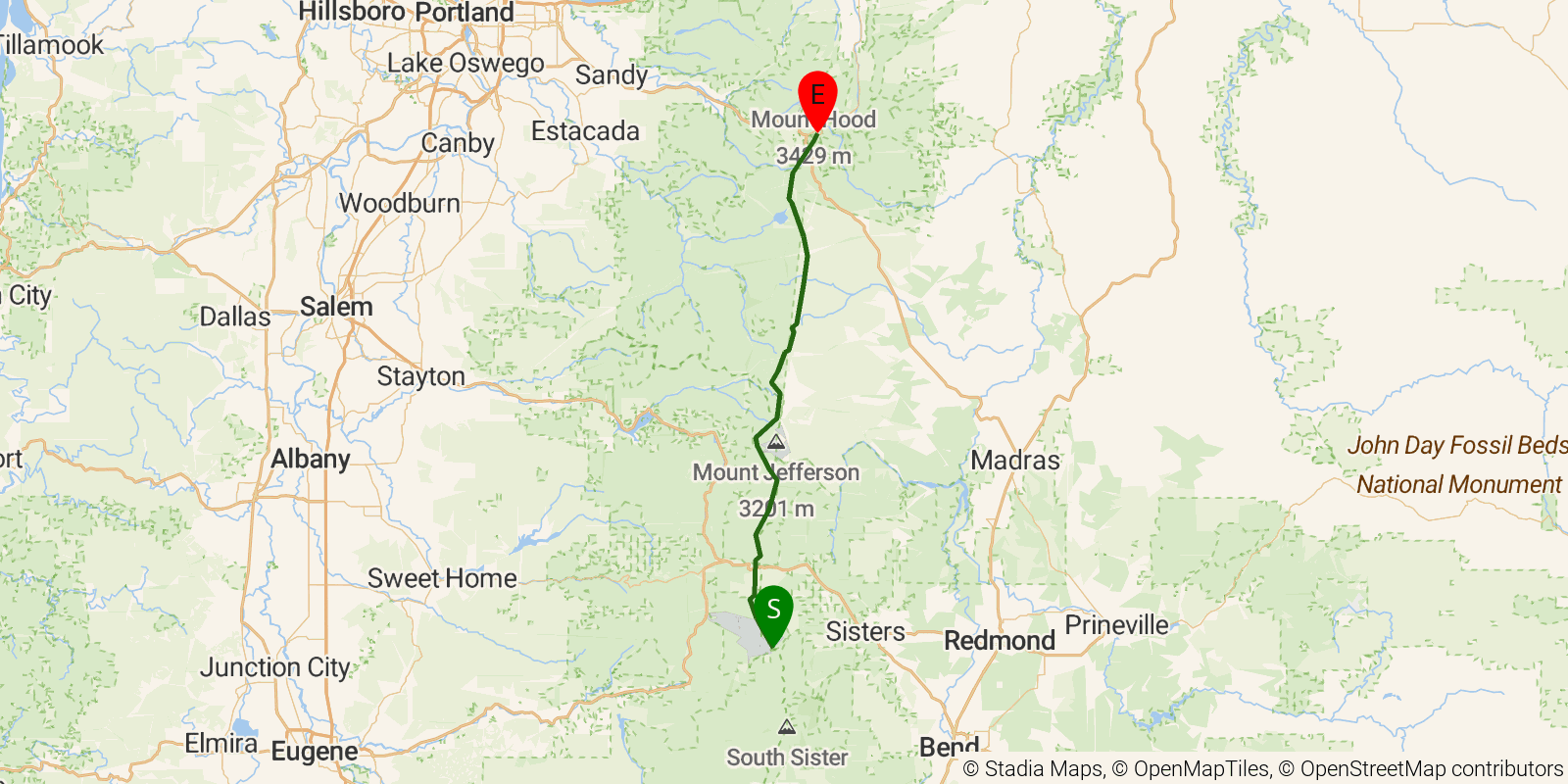
PCT Section F in Oregon runs about 106 miles from McKenzie Pass to Barlow Pass, passing Mount Washington, Three Fingered Jack, and Mount Jefferson, with the alpine meadows of Jefferson Park along the way. Point-to-point, ending below Mount Hood; typically 6-7 days.
Elevation profile
Elevation ranges from 10,633 ft to 21,562 ft over 106.9 mi. Measured from OSM geometry (approximate).
- Uphill 46.3 mi · 43%
- Downhill 53.1 mi · 50%
- Flat 7.2 mi · 7%
Ridgefold breaks every route into uphill, downhill, and flat — see the full per-day breakdown in the app.
How hard is the PCT — Oregon Section F?
On the Ridgefold Difficulty Index, the PCT — Oregon Section F scores 43/100, a relative rating across the 569 trails we've mapped, blending distance, elevation gain, and steepness. It is a comparison within our set, not an official rating.
Frequently asked questions
How much elevation gain is on the PCT — Oregon Section F?
The PCT — Oregon Section F climbs roughly 14,938 ft total — about 140 ft per mile, topping out near 6,900 ft.
Related trails
Sources & attribution
Route geometry and stats derived from OpenStreetMap (© OpenStreetMap contributors, ODbL) — source relation. Stats are approximate and may differ from official surveys; permit rules and conditions change — verify with the managing authority before your trip. Last reviewed July 2026.